Description
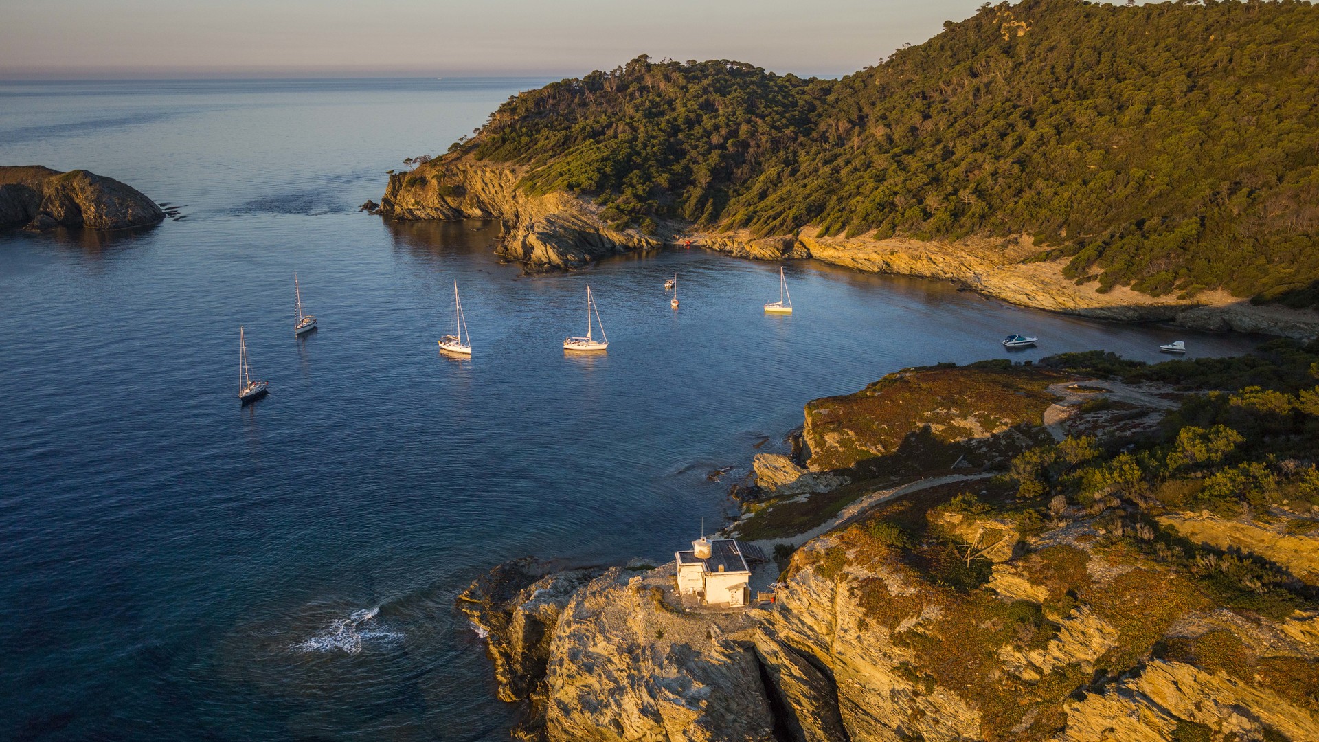
The project aims to provide the signatory Parties of the Pelagos Agreement with maps depicting the distribution and quantification of a maritime activity that is rarely mapped and quantified precisely and consistently over a vast territory: pleasure boating.
To achieve this, the first step of the project is to mobilize existing data collected at sea and from land, and to identify other existing databases, obtaining agreements to use them. The second step of the project will be to access these databases, identify their characteristics and limitations, and decide which ones can participate in the modeling process and which ones in the validation of the model. All databases will then need to be standardized and formatted.
The third step involves modeling the distribution to identify the co-factors influencing this distribution: distance to the coast, to ports, to anchorages, bathymetry, etc.
The fourth step will be to conduct analyses and generate maps, if possible, with an estimation of the confidence associated with the results.